

Why Transferring Large Drone Files in Real-Time is Crucial for Swift Decision Making
Drone technology has transformed public safety, offering new ways to gather intelligence and respond to crises. But one critical bottleneck – managing the massive data these drones can produce – continues to hinder operations where time is of the essence.
High-resolution images, video, and scans produce massive files – often between 10 and 70 GB. Traditional workflows force operators to wait hours to upload this data after gathering it once back to headquarters. Relying on bandwidth can delay critical analysis and decision making.
This delay isn’t just inconvenient; it’s a structural inefficiency.
Enter LiveU File Transfer, a solution built to remove the bottlenecks and redefine how agencies manage drone data in real time.
The Problem With Waiting
Every second counts in public safety. Yet, traditional workflows force drone operators to search for stronger Wi-Fi or head back to the base station (minutes or hours away) just to transfer data. A typical 50 GB survey can take hours, leaving teams waiting when they should be moving forward. This downtime cascades through operations, delaying response coordination and scene analysis.
LiveU File Transfer eliminates these delays. By using cellular networks, Low Earth Orbit satellite connectivity like Starlink, and available Wi-Fi, it enables data uploads the moment a drone lands.
The LiveU field encoder with File Transfer capabilities can upload up to 100Mbps, with much of the uploading occurring before the team reaches their next location. This reduces the chance of the files being misplaced.
The result? Faster decision-making, reduced downtime, and seamless operations.
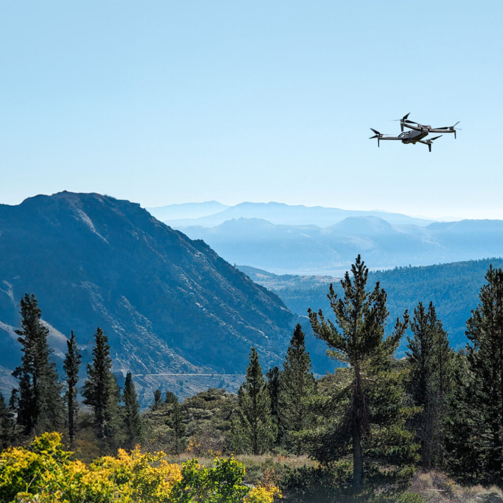
Skydio drone used in rural area to evaluate infrastructure after a natural disaster. LiveU File Transfer allows for large files captured by the drone to be sent to a command center in real-time for review. Photo credit: Skydio
Flexible Workflows for Modern Data Challenges
The brilliance of LiveU File Transfer lies in its adaptability. It offers two workflows to fit the varied needs of public safety operations:
Uncompressed Transfers: For still images and video collection, the system delivers high-resolution files with maximum fidelity, ensuring every pixel is preserved for analysis.
Compressed Transfers: When bandwidth efficiency is paramount, compressed workflows strike a balance between speed and quality while maintaining essential metadata for mapping platforms like Pix4D or gNext.
This isn’t just theoretical. Operators can stream live video during flights, while simultaneously recording high-resolution images. Once the drone lands, those files start transferring immediately, even in areas with spotty connectivity. The system is designed to handle interruptions, building files during signal loss and resuming automatically when connectivity is restored.
Compressed transfers assist with mapping and modeling of accident reconstruction operations. During a road traffic incident (RTA), scene surveys conducted by drones offer multi-angle shots in high definition. These are typically large file transfers for law enforcement agencies. File Transfer streamlines this. Search and rescue operations are another natural fit. Drones equipped with thermal imaging can locate individuals in vast or challenging terrains, with data uploaded for immediate analysis to confirm coverage before teams move on. In law enforcement, high-quality video and GPS-tagged imagery are critical for crime scene documentation.
By reducing the lag between collection and analysis, LiveU File Transfer ensures that data doesn’t just sit – it drives action.
A New Standard for Infrastructure Monitoring
The technology’s benefits extend beyond public safety to infrastructure assessment. For road construction projects, bi-weekly drone surveys track progress, monitor debris piles and removal, and verify contractor work, all without wasting time waiting for uploads to be completed.
Teams conducting inspections of bridges, power lines, and cell towers can use AI-enhanced analysis to quickly identify critical issues such as structural defects or insulator arcing. For road construction projects, bi-weekly drone surveys provide project managers with detailed progress updates, help monitor debris removal and verify contractor work against invoices – all while teams seamlessly transition between sites.
The efficiency gains are significant. When multiple sites need inspection across large geographic areas, the ability to verify data capture in real-time eliminates the need for costly return visits.
It’s a small workflow shift with massive implications for efficiency.
Resilience in the Toughest Conditions
Whether operating in disaster zones, rural outposts, or urban dead zones, LiveU File Transfer is built to adapt. By combining multiple networks, including cellular and Low Earth Orbit (LEO) satellite, it ensures uninterrupted transfers even in challenging environments. This resilience is critical for maintaining continuity during operations where traditional infrastructure might fail.
Future-Ready Operations
Public safety isn’t static, and neither are its technological needs. The open architecture of LiveU File Transfer ensures it can integrate with emerging analytical tools, while protecting existing investments. It’s not just a tool for today – it’s a platform for growth, designed to scale with the increasing demands of drone programs.
The future of public safety is about more than collecting data; it’s about turning that data into action – quickly, reliably, and in real time. LiveU File Transfer represents a fundamental shift in how agencies think about drone operations, bridging the gap between collection and analysis to deliver intelligence where it’s needed most: in the moment.
Test out LiveU File Transfer in a Real-World Situation
See how LiveU File Transfer can bolster your public safety operations.